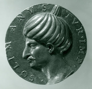
The Turkish Empire. The Armes of Turkie, London, 1626
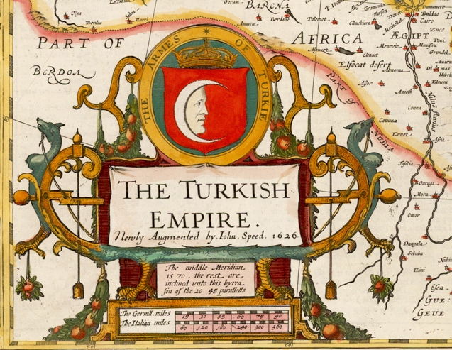
Map of the Turkish Empire The Turkish Empire, London 1626 John SPEED (1552-1629) One of the most decorative maps of the Turkish Empire issued in the 17th Century. The first map of the region published in England, decorated with eight Turkish town plan (Famagusta, Damascus, Cairo, Jerusalem, Constantinople, Rhodes, Alexandria and Ormus) and ten costumed figures and a large cartouche. Size 390 x 510 mm Türk İmparatorluğu Haritası Türk İmparatorluğu, Londra 1626, John SPEED (1552-1629) Türk İmparatorluğu'nun 17. yüzyılda yayınlanmış en dekoratif haritalarından biridir. Sekiz Türk şehrinin planı, ( Mağusa, Şam, Kahire, Kudüs, İstanbul, Rodos, İskenderiye ve Hürmüz ) on kostümlü figür ve büyük bir kitabe ile süslenmiş 390 x 510 mm boyutlarındaki harita bölgenin İngiltere'de yayınlanan ilk haritasıdır.